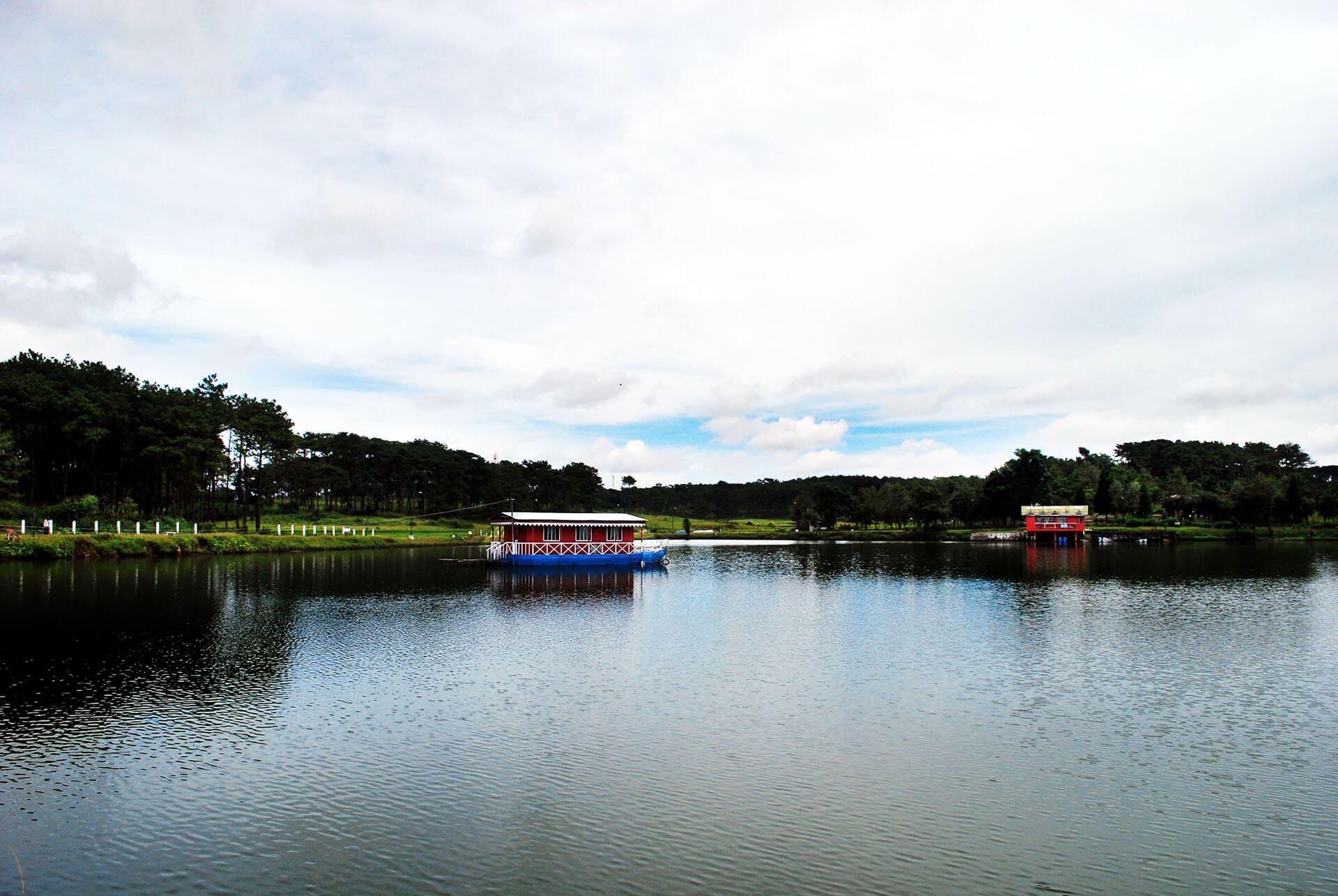
Jowai (Jaintia Hills)
Founded in the second half of the nineteenth century by the British, Shillong town has enjoyed a cosmopolitan core since its beginnings. This reflects in the unique culture of Meghalaya’s scenic capital – a place where every festival is celebrated with zest and travellers will stumble across cuisines from across the country and the world.

Canopy kings
Meghalaya’s terrain allows for a contrast of experiences and conditions in a relatively small state. Dominated by an elevated table-land, the state features hilly country often cut by steep valleys like grooves, dripping away to plains and low valleys in the west and north and dizzying cliffs in the southern and eastern ranges.
Meghalaya’s terrain allows for a contrast of experiences and conditions in a relatively small state. Dominated by an elevated table-land, the state features hilly country often cut by steep valleys like grooves, dripping away to plains and low valleys in the west and north and dizzying cliffs in the southern and eastern ranges.

A birder’s haven
The highest point in the state is Shillong Peak (1960 metres) while there are considerable regions in the Khasi and Jaintia Hills ranges that lie 1500 metres and more above sea level. The Garo Hills are located at lower elevations. The highest point in these western ranges of Meghalaya – the Garo Hills – is Nokrek Peak (1412 metres). The Garo Hills feature thicker jungles and more evergreen landscapes carpeted across stretches of low hills and wide valleys.
The highest point in the state is Shillong Peak (1960 metres) while there are considerable regions in the Khasi and Jaintia Hills ranges that lie 1500 metres and more above sea level. The Garo Hills are located at lower elevations. The highest point in these western ranges of Meghalaya – the Garo Hills – is Nokrek Peak (1412 metres). The Garo Hills feature thicker jungles and more evergreen landscapes carpeted across stretches of low hills and wide valleys.