Overview of Meghalaya

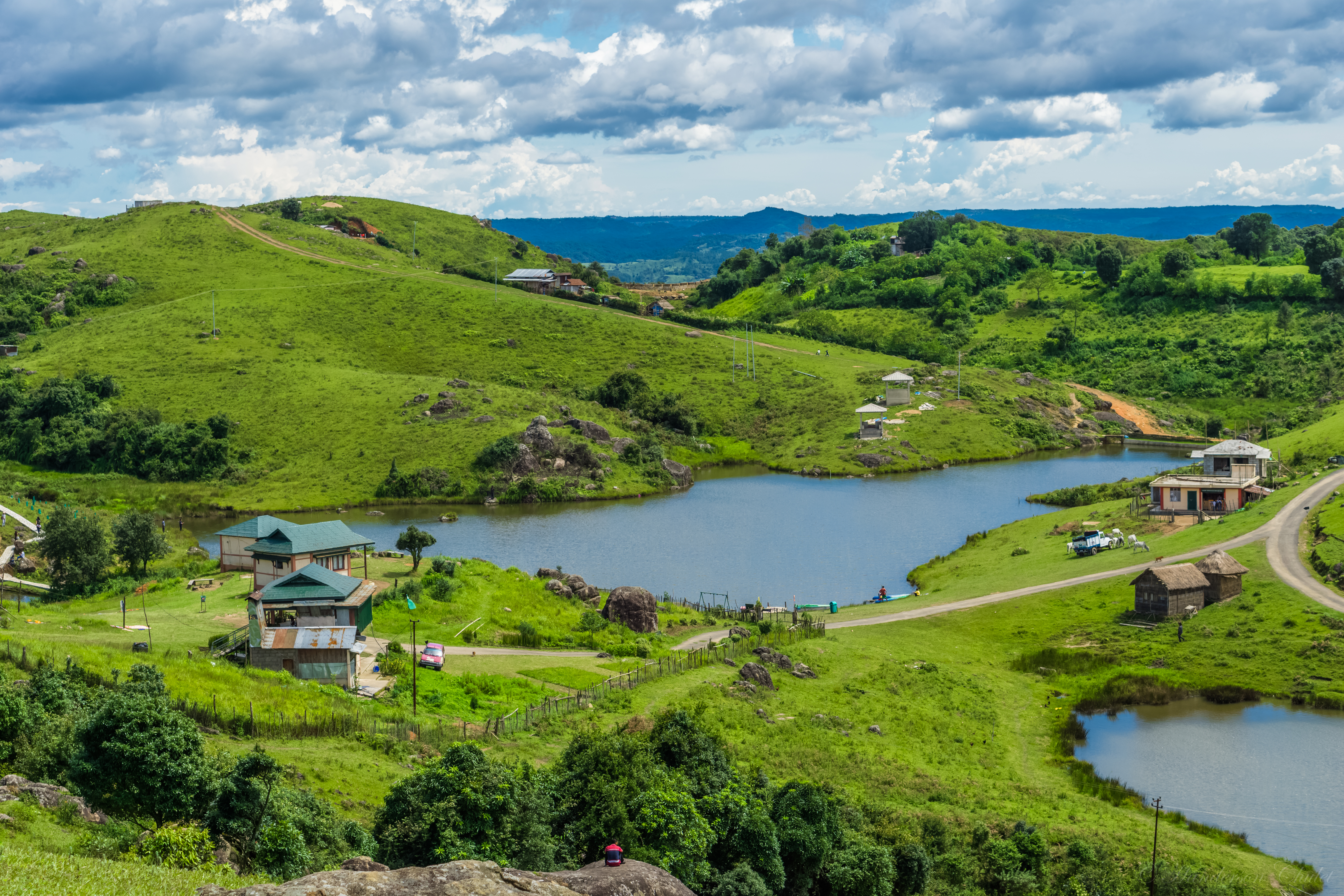
Meghalaya is carved out from the state of Assam in 1972. It is bounded by Assam (north and east) and Bangladesh (south and west), and features three distinct hill regions with namesake tribes – Khasi, Jaintia and Garo (further divided into 12 districts). Sohra and Mawsynram are statistically among the wettest places on Earth; most of the rain falls between June and September, creating impressive waterfalls. Meghalaya attained full statehood in 1972. While this was the most significant event in the modern history of the state, the 19th century was marked by other events – the British governed the kingdoms of Jaintia, Khasi and Garo Hills. This was also the time when Welsh missionaries made their way to the state, introducing Christianity to the mix of tribal culture. Scholars believe that the Mon-Khmers were one of the first groups of people to settle in the Indian subcontinent. Elements of the Neolithic era are still seen in the state. A vast number of megaliths scattered over the Khasi and Jaintia regions also make this a region of interest for geologists and historians.
Meghalaya is carved out from the state of Assam in 1972. It is bounded by Assam (north and east) and Bangladesh (south and west), and features three distinct hill regions with namesake tribes – Khasi, Jaintia and Garo (further divided into 12 districts). Sohra and Mawsynram are statistically among the wettest places on Earth; most of the rain falls between June and September, creating impressive waterfalls. Meghalaya attained full statehood in 1972. While this was the most significant event in the modern history of the state, the 19th century was marked by other events – the British governed the kingdoms of Jaintia, Khasi and Garo Hills. This was also the time when Welsh missionaries made their way to the state, introducing Christianity to the mix of tribal culture. Scholars believe that the Mon-Khmers were one of the first groups of people to settle in the Indian subcontinent. Elements of the Neolithic era are still seen in the state. A vast number of megaliths scattered over the Khasi and Jaintia regions also make this a region of interest for geologists and historians.